Beyond traditional agricultural mapping
Combining Satellite Images, Field Photos, and AI for Detailed Insights on Agricultural Landscapes
Abstract: European agriculture is affected by extreme weather events, such as droughts, hail, and storms, which are expected to intensify in frequency and severity. These events pose significant threats to agricultural productivity and sustainability. To mitigate the effects of such extreme weather, it is crucial to have accurate, up-to-date maps of crop locations. Satellite data have been widely used for this purpose, offering the possibility to generate high-resolution crop-type maps on a seasonal and annual basis at the global level. However, with the rapid advancements in Earth Observation technology and computational power, there is now an opportunity to move beyond traditional crop-type mapping.
The increasing availability of crowdsourced, geo-tagged field photos adds a new layer of data that, when integrated with satellite images, allows for multi-dimensional insights into agricultural landscapes. This integration enables the collection of information at varying levels of semantic detail, which is crucial for understanding complex crop conditions. While satellite image time series offer valuable temporal data on crop development, ground-level field photos provide high-resolution spatial details, offering a closer look at crop conditions (such as drought, pest infestations, or flooding), phenological stages (such as flowering or fruiting), farming practices (e.g., intercropping or irrigation techniques), and complex agricultural landscapes (e.g., agroforestry). Recent advancements in Artificial Intelligence (AI), particularly in visual language models, self-supervised learning, and multimodal learning approaches, present a significant opportunity to combine satellite and ground-based data more effectively. The combination of geo-tagged field photos, satellite image time series, and AI techniques enable the interpretation of complex agricultural landscapes in unprecedented detail, providing insights into environmental stressors that were previously difficult to detect.
This talk will explore the potential of combining satellite data, geo-tagged field photos, and advanced AI methods to enhance agricultural monitoring. In addition, it will examine the advantages and limitations of these complementary data sources, assessing the current potential to unlock deeper insights into complex agricultural landscapes.

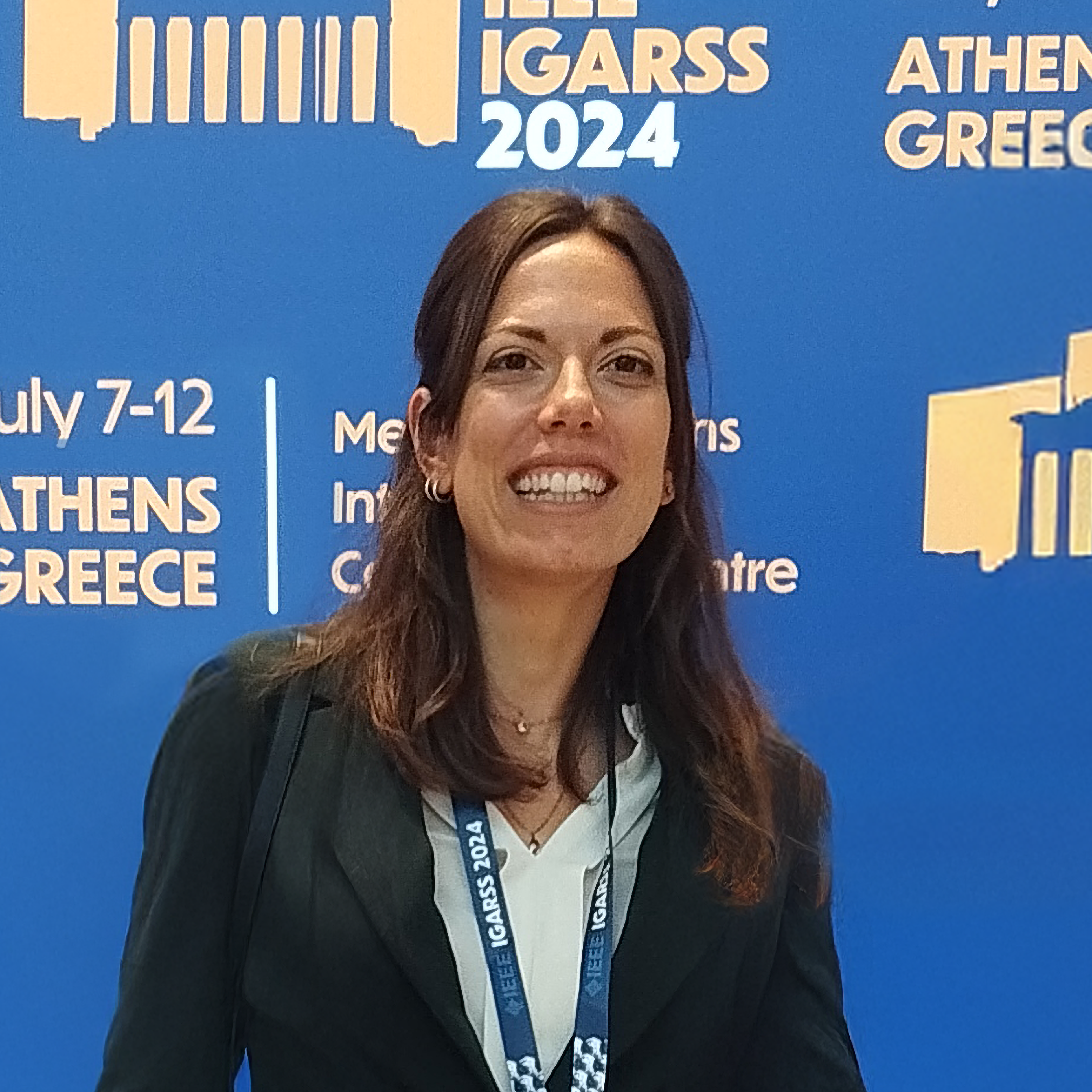
BIO: Claudia Paris is a Senior Assistant Professor (UD1) in the Faculty of Geoinformation and Earth Observation Sciences (ITC) at the University of Twente, Enschede, the Netherlands. She received the “Laurea” (B.S.), the “Laurea Specialistica” (M.S.) (summa cum laude) degrees in Telecommunication Engineering and the Ph.D. in Information and Communication Technology from the University of Trento, Italy, in 2010, 2012, 2016, respectively. She accomplished the Honors Master Program in Research within the Master’s Degree in Telecommunication Engineering in 2012. Claudia Paris' research encompasses image processing, signal processing, pattern recognition, machine learning, and deep learning, specifically applied to remote sensing image analysis. She focuses on designing innovative and automated workflows for the analysis and classification of large-scale Earth Observation (EO) data for various applications (e.g., forest/agricultural mapping and monitoring) by leveraging high-performance computing (HPC) and cloud computing platforms (Google Earth Engine). Her main research interests focus on the classification and fusion of multisource remote sensing data, multitemporal image analysis, domain adaptation methods, and land cover map updates. She has been conducting research on these topics in the framework of national and international projects. She is a member of the scientific and programme committee of the IEEE International Geoscience and Remote Sensing Symposium (IGARSS) and the SPIE International Symposium on Remote Conferences, respectively, and is also a referee for several international journals. Dr. Paris was twice the recipient of the prestigious Symposium Prize Paper Award (exceptional paper in terms of content and impact on the Geoscience & Remote Sensing Society) at the 2016 IEEE IGARSS (Beijing, China, 2016) and at the 2017 IEEE IGARSS (Fort Worth, TX, USA, 2017). She also won the IEEE Geoscience and Remote Sensing Society 2022 Letters Prize Paper Award (exceptional paper in terms of content and impact on the GRS-Society).

